Category
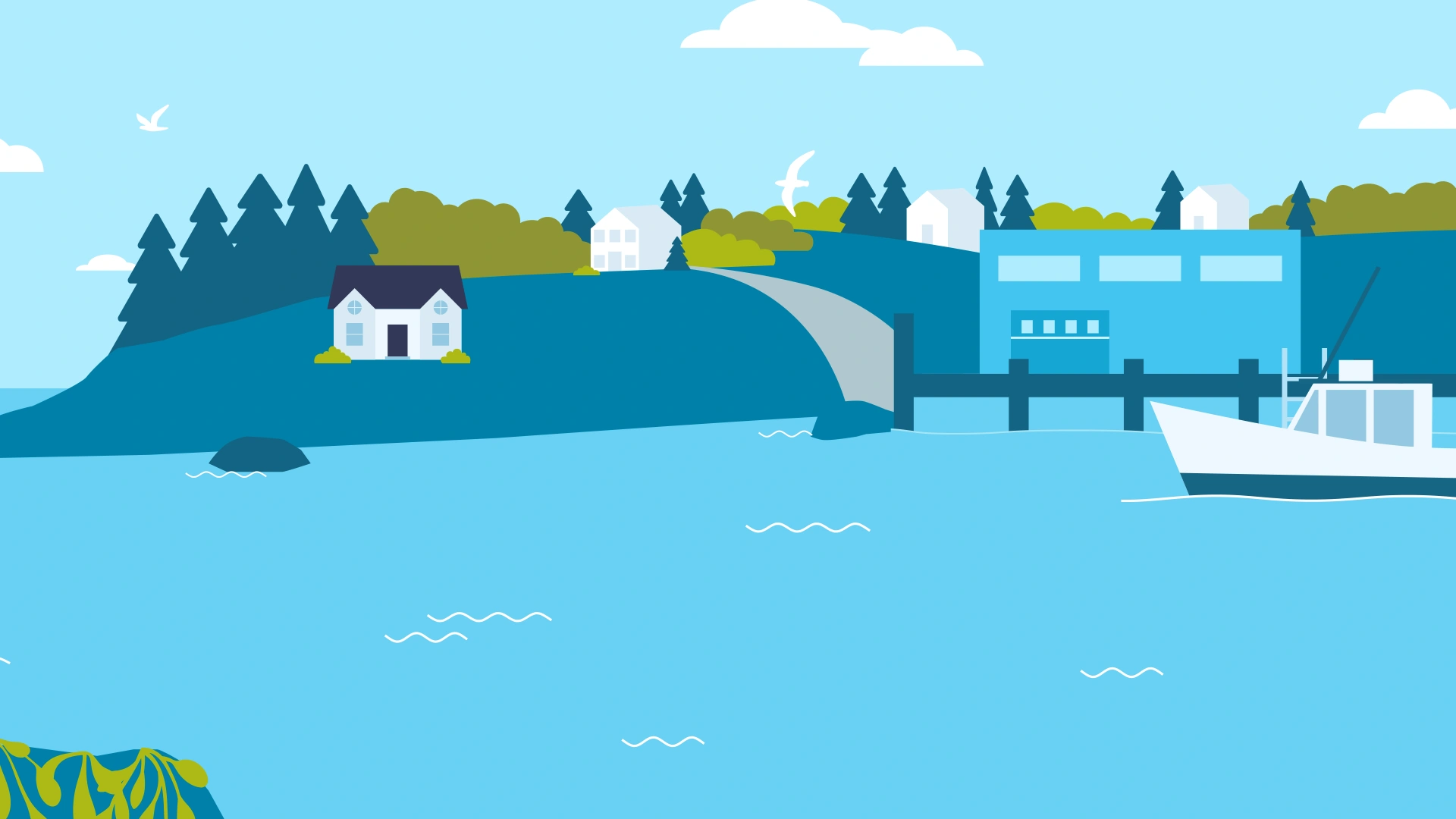
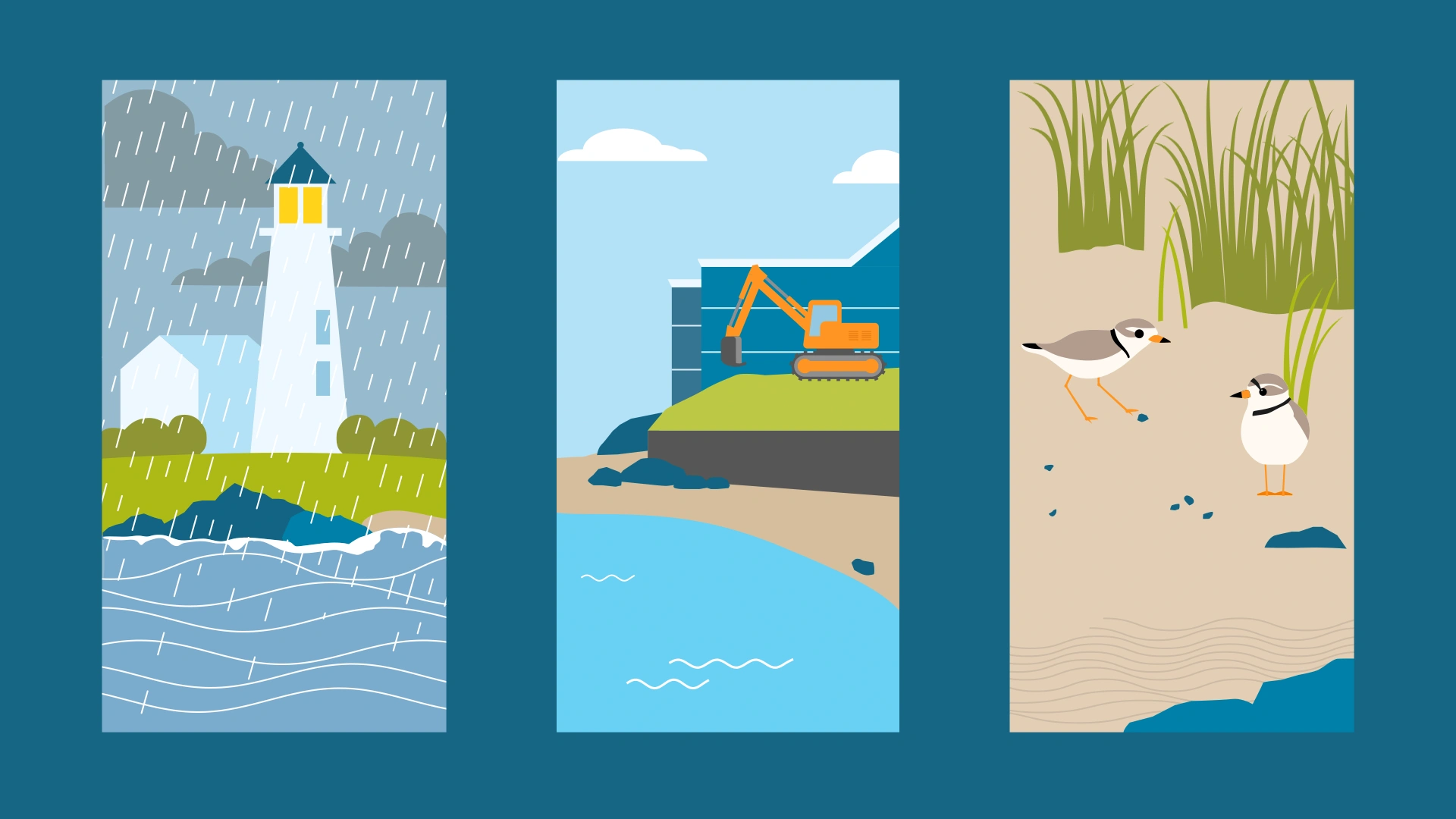
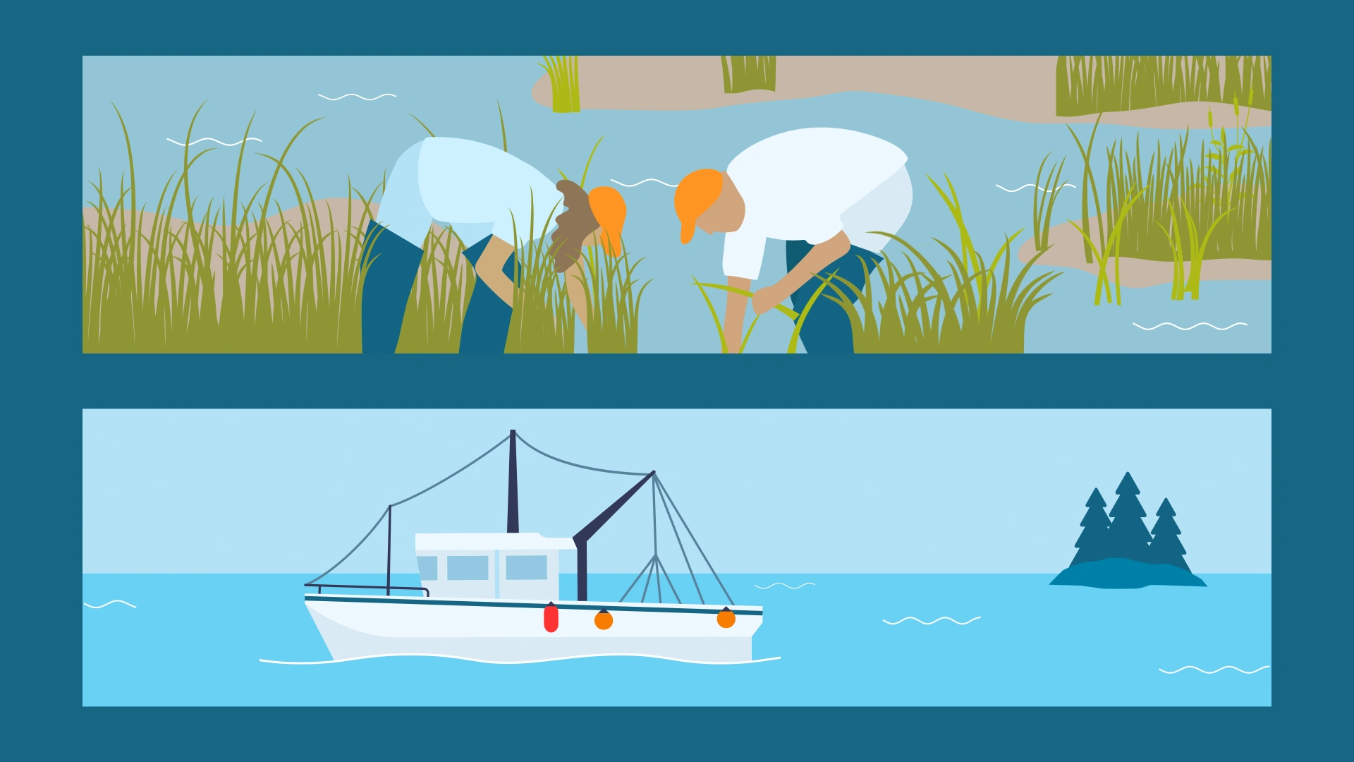
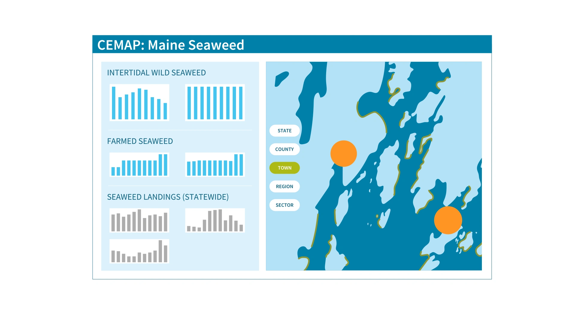
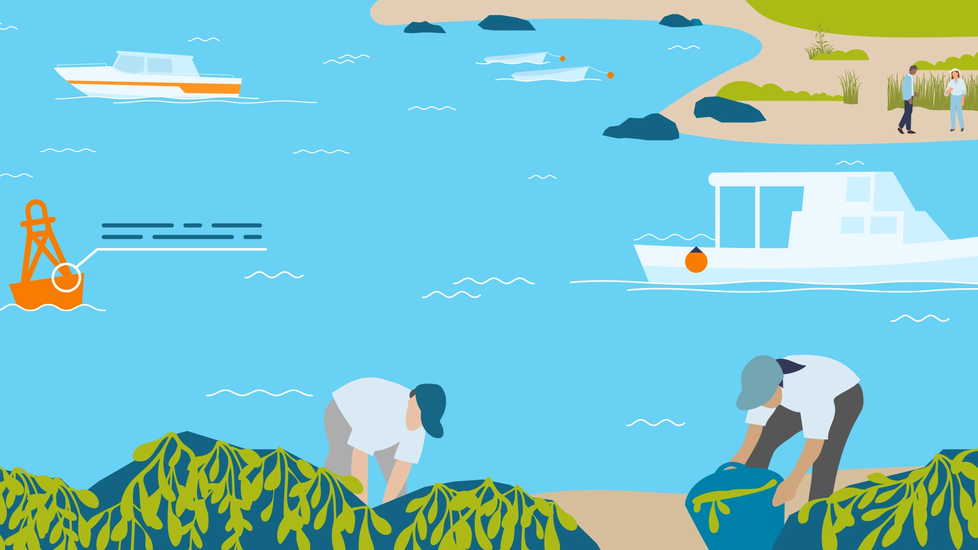
We produced an explainer animation for CEMAP, the Coastal Ecosystem Map Application Platform, a groundbreaking software tool that unifies satellite imagery, aerial photography, and field survey data into an accessible, location-based interface. Designed for use by aquaculture professionals, researchers, engineers, and local governments, CEMAP supports data-driven decision-making for coastal management. Our video introduced the platform to the world with a friendly, branded visual style that emphasized usability, demonstrated core features, and highlighted its global potential.